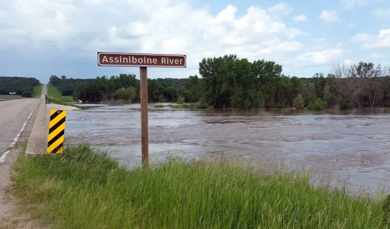
Manitoba Transportation and Infrastructure’s Hydrologic Forecast Centre has issued an overland flood watch for portions of southwestern Manitoba, as a significant precipitation system moves through the region.
Rain began early this morning and is expected to continue throughout the day before the system moves out of the province overnight. Current forecasts indicate widespread rainfall totals of 20 to 40 millimetres (mm) across much of southwestern Manitoba, extending north toward the Dauphin area.
The heaviest rainfall is expected west of Brandon, including the Virden and Melita areas, and could extend westward into the Saskatchewan portion of the Souris River basin. These areas could receive 50 to 80 mm of rainfall, with localized amounts potentially reaching 100 to 120 mm where more severe thunderstorms develop.
An additional 20 to 50 mm of rainfall is possible through the remainder of today in areas affected by heavier precipitation.
Heavy rainfall over a short period may result in overland flooding, particularly in low-lying areas and locations with limited drainage capacity. Water levels on smaller streams and tributaries may also rise rapidly in areas receiving the highest rainfall amounts.
The overland flood watch remains in effect for southwestern Manitoba until the precipitation system clears the region overnight. A map of the overland flood watch area is available at: https://manitoba.ca/asset_
The Hydrologic Forecast Centre will continue to monitor precipitation and watershed conditions and will provide updates as conditions develop. The most recent flooding information is available at https://manitoba.ca/floodinfo and additional information is available at www.mbready.manitoba.ca/.
For information on road closures, visit https://manitoba511.ca/.