Environment Canada has issued a Snowfall Warning for areas of southwest Manitoba. Snowfall amounts of 10 to 15 cm can be expected through Friday night.
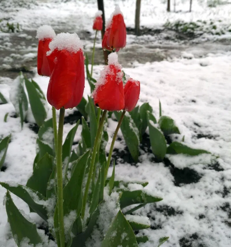
A strong low pressure system is currently bringing heavy precipitation to much of southern Manitoba today. While most areas have experienced heavy rainfall, the rain has changed over to heavy snow over parts of western Manitoba.
Accumulation totals will vary across regions, with areas of higher terrain seeing more. The snow and rain will taper off throughout Friday night.
Rapidly accumulating snow could make travel difficult over some locations. Visibility may be suddenly reduced at times in heavy snow. Surfaces such as highways, roads, walkways and parking lots may become difficult to navigate due to accumulating snow. Be prepared to adjust your driving with changing road conditions. Prepare for quickly changing and deteriorating travel conditions.
Please continue to monitor alerts and forecasts issued by Environment Canada. To report severe weather, send an email to MBstorm@ec.gc.ca or tweet reports using #MBStorm.
Snowfall Warning is in effect for:
- City of Brandon
- Mun. of Glenboro-South Cypress incl. Treesbank
- Mun. of North Cypress-Langford incl. Neepawa and Carberry
- R.M. of Elton incl. Forrest
- Mun. of Oakland-Wawanesa incl. Carroll
- R.M. of Cornwallis west of Shilo incl. Chater